The Appalachian Trail meanders across the mountain tops of The Great Smoky Mountains National Park. Conceived in 1921 by Benton McKay and initially cleared and marked in 1923, the Appalachian Trail was completed in 1937 and is a marvelous tribute to the well-meaning individuals such as McKay who overcame many obstacles to create this splendid national treasure. The trail winds for 2,015 miles (actually it varies due to changes in sections of the trail) Appalachian Trail in the Great Smoky mountains through parts of 14 states. Its southern terminus is Springer, GA and ends (or begins, depending on your perspective) on Mount Katahdin in Maine.
The Appalachian Trail in the Great Smoky Mountains
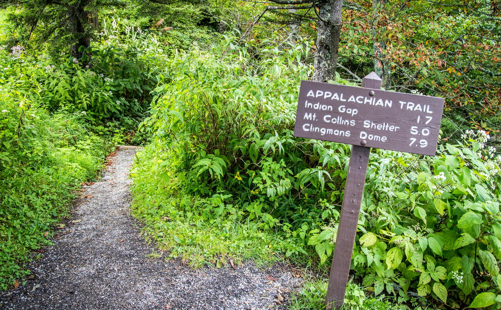
The Trail (or AT as it is commonly called) includes a section 69 miles in length that serves as a boundary for Tennessee and North Carolina in the Great Smoky Mountains. A few hardy souls thru-hike the entire lengh of the AT each year (approximately 200 each year), but visitors to the Smokies can enjoy less challenging lengths of the Trail that are accessible from a few of the hiking trails that connect to the AT. One popular approach is to park at the Newfound Gap parking area (where you can also visit the memorial where Franklin D. Roosevelt dedicated the Great Smoky Mountains National Park). From the parking area, you can hike modest portions both north and south on the Trail. One popular destination is north to Charlies Bunion. From Charlies Bunion, fire clearings above steep mountain slopes afford spectacular views to peaks and valleys below.
About every eight miles or so, the National Park Service has erected overnight shelters that have primitive bunks for sleeping along the trail in The Great Smoky Mountains National Park. These shelters are covered by wire screen on one side to keep the bears at bay. Stays are limited to one night and a backcountry permit or reservation is required. Permits for reservations can be obtained from Park Headquarters by calling (423) 436-1231. Reservations can be made up to 30 days in advance by calling, or in person at the Twentymile Ranger Station (south end of the Park) and Big Creek Ranger Station (north end).
Less-populated (but interesting) trails connecting to the AT include Lower Mt. Cammerer Trail to the north near the Cosby, TN entrance to the Park and the Gregory Bald Trail to the south end of the Park near the Twentmile Ranger Station. Also at the southern end of the Park, the AT passes Fontana Dam, and this area boasts some of the most treacherous and challenging portions of the Trail.
More GSMNP Information
For information about the entire length of the AT, write The Appalachian Trail Conference, P.O. Box 807, Harpers Ferry, WV 25425.